
|
ANOTHER COLD, RAW MORNING - Temperatures are currently in the upper 30s closer to the metroplex with low to mid 30s to the north and northwest. We won't warm much today as we will probably hover around the same temperature category with the rain-cooled air in place. As advertised, the front will creep northward later today, and rain will become widespread across the region during the late morning hours. It will be a very cold rain for North Texas with temperatures sitting in the 30s for most. Some places along the Red River may fall below 32°, and that's when the chance of mainly freezing rain comes into play. At this point, I don't anticipate any freezing rain concerns for DFW, as we will be just a few degrees too warm, like always. We will see some clearing Wednesday with some sun coming out, and we will be much warmer with afternoon highs in the upper 50s. We quickly turn back to mostly cloudy skies on Thursday with highs still hovering in the 50s. Then the warm front moves to the north again and brings back scattered showers and thunderstorms to the state again beginning Friday. At this point, I am not anticipating a complete washout, and afternoon highs will be in the upper 50s. THE WEEKEND - Rain will continue into Saturday with some thunderstorms mixed in. Despite the risk of severe weather defined for the lower Mississippi River Valley, no severe weather for North Texas is expected. Just some beneficial rains with some thunder at times. 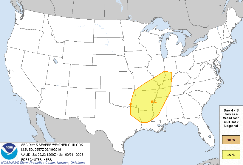 We turn surprisingly pleasant Sunday with sunshine in full force. Afternoon highs will be in the low 60s.
NEXT WEEK - For now, a good chunk of next week looks dry with seasonal temperatures. See the Texas Weather Discussion Video for more details. |
Archives
March 2023
Categories |
 RSS Feed
