
|
*No Texas Weather Discussion Video due to traveling* Radar Check - Widespread shower activity is currently ongoing across much of North Texas this morning along with temperatures in the mid 40s for communities behind the cold front. 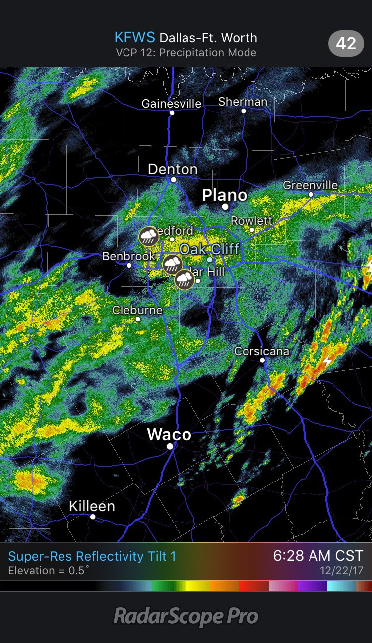 This is caused by an upper trough lifting out of the Southwest US, which will bring plenty of rainfall to North Texas throughout the day. Rain amounts should stay in the one inch range in most spots. Some thunder will remain possible, but organized severe weather should not be an issue. This system will also bring more rainfall to other parts of the Deep South over the next 36 hours, where a flash flood watch is in place for a far east Texas, much of Central and Southern Arkansas, parts of Tennessee, and far North Mississippi, where rain amounts up to 3 and a half inches is possible inside the warned area. 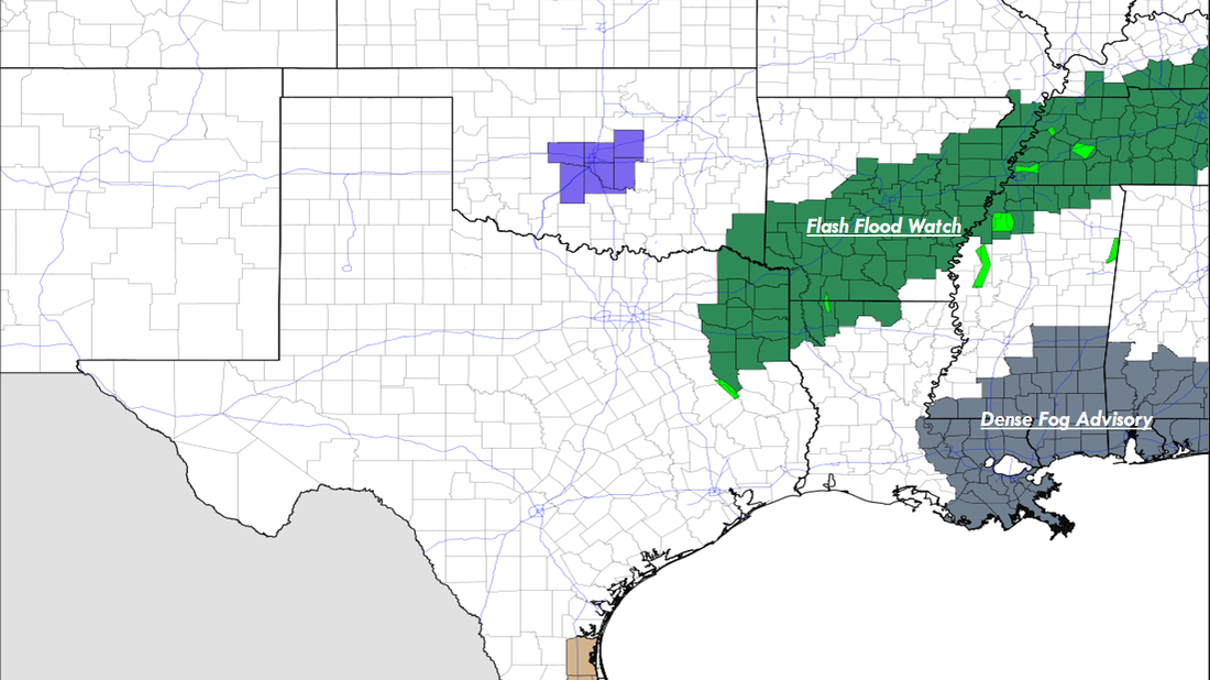 Temperatures are already starting to go the wrong way this morning. Many communities started in the mid 50s this morning, temperatures are already starting to fall to the upper 40s in most spots, and will continue to fall to the low 40s this afternoon and evening. Saturday and Christmas Eve looks cold and dry with highs in the 45-50 degree range. Christmas Day - Sunny and cold conditions will continue to prevail for North Texas on Monday; We start the day in the low to mid 30s, and the high should be in the low 50s during the peak of the day, right at average temperatures for December 25. Rest of the Week Ahead - The weather will continue to be dry Tuesday and Wednesday, then we introduce a chance of showers and rain during the later half of the week. Past that, models tend to agree on colder conditions around New Years, but they continue to have huge discrepancies with the idea of snow at around the same time. 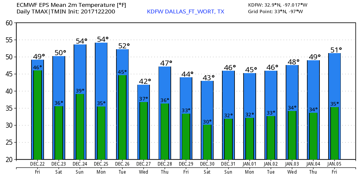 |
Archives
March 2023
Categories |
 RSS Feed
