
|
COOL START - Temperatures are currently in the upper 40s to low 50s across the great region of Texas this morning; the air remains mostly dry and we expect thick clouds to hold in place with a high in the low 60s this afternoon; very similar to yesterday, just without the sun. Any showers that develop will trend more to the east and should stay "few and far between" today. Clouds will hold in place overnight, with overnight lows only reaching the low 50s. WEDNESDAY THROUGH FRIDAY: The weather should be relatively dry (for the most part) for the rest of the workweek. We turn sharply mild on Wednesday with highs in the low 70s during the afternoon with mostly cloudy skies. A cold front moves through overnight, and we could see morning lows well into the 30s an 40s. In fact, places to the northwest of the metroplex could see some light freezing rain during the early morning hours if they can get below freezing. That's a big IF, and not everyone will see freezing rain. For those that do, I don't expect any accumulations or impacts. The day Thursday will be mostly cloudy again with highs in the low 60s. Then we turn partly cloudy on Friday with afternoon highs in the low to mid 70s with morning lows in the mid 40s. THE WEEKEND - This will be another one of those cold weekends where we will seriously have to watch the *potential* for winter weather of some sort on Sunday. An arctic front blasts through the region Friday overnight, which will put us below freezing for lows for most of the weekend. We only reach the mid 40s on both days. Global models have been indicating the potential for winter weather of some form. Most recently, it has latched onto the idea of some ice/freezing rain for parts of North Texas, but don't get too caught up with precipitation types. The exact precip. types and/or impacts are currently unknown at this time, as it is too early to establish an accurate forecast for this event. We will continue to mention a cold, cloudy day on Sunday with rain possible at times. NEXT WEEK: We stay dry for much of next week, but we will retain very hilly temperatures with lows below freezing for much of the week. The sun start to show during the latter half of the week. Temperatures overall look to be way below average for all of the week. 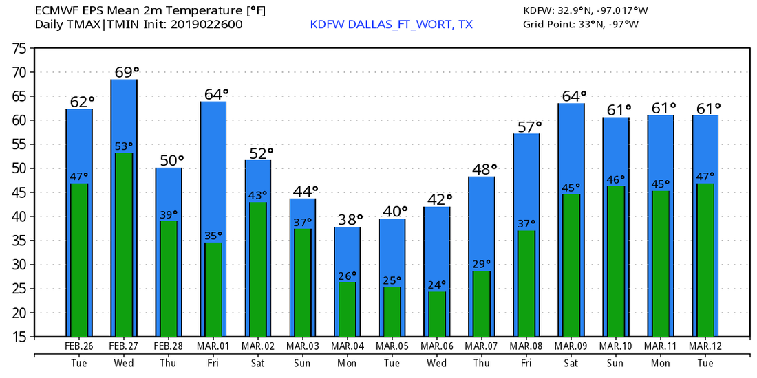 |
Archives
March 2023
Categories |
 RSS Feed
