
|
BONE-CHILLING MORNING - In wake of a cold front yesterday afternoon, we received a few reports of light snow/ice pellets over parts of North Texas overnight as an associated storm system moved through the region. Now, temperatures in the mid to upper 20s early this morning, with a few higher readings off to the south. Due to a strong northwest wind of 15mph, it feels like we are in the upper teens this morning. Winds will continue to stay strong throughout the day with mostly sunny skies, and highs will be in the upper 40s this afternoon. REST OF THE WEEK - Thursday and Friday will feature mostly sunny skies with afternoon highs in the low to mid 50s. Winds will shift to the northeast by Thursday afternoon, and winds will begin to eventually subside by Friday. Tomorrow morning will have temperatures in the upper 20s, and subsequently in the low 30s Friday. THE WEEKEND - Another small cold front moves through the region on Saturday, and we will remain mostly cloudy for much of the day. A few showers are possible again during the afternoon, and I wouldn't be surprised if we end up seeing a few sleet pellets again if temperatures can reach down into the 30s again. We turn sunny on Sunday with highs in the mid 50s. Saturday's high will be in the upper 40s. NEXT WEEK - We remain mostly sunny throughout the entire week. Another cold front moves through in dry fashion on Tuesday, dropping highs in the 40-50 degree range for much of the week. Winds will increase by Tuesday. See the Texas Weather Discussion Video for more details. 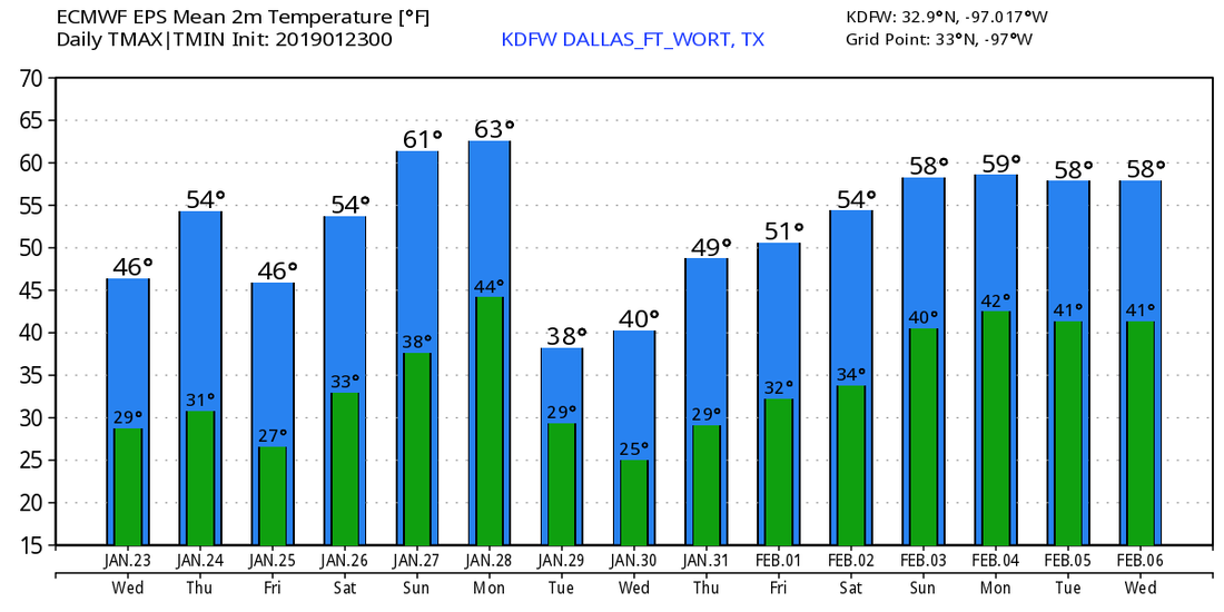 |
Archives
March 2023
Categories |
 RSS Feed
