
|
RADAR CHECK - A cluster of showers and thunderstorms is currently in progress over Ellis and Kaufman counties. Showers continue to spread northeast for our western counties, just to the east of Abilene. 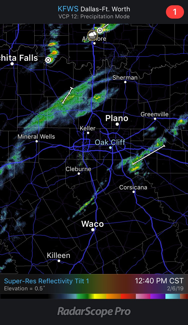 This period of "lull" will persist throughout the day. We will remain mostly cloudy with afternoon highs reaching towards the upper 70s. Similar to Monday, but just a few degrees cooler. A FEW SEVERE STORMS POSSIBLE OVERNIGHT - If you don't already know, we have been monitoring the potential for a few severe thunderstorms across North Texas ahead of another strong cold front that will bring another rush of cold air into the region (I'll get to that later). The latest Storm Prediction Center Severe Weather Outlook places much of North Texas under some risk of severe weather. To elaborate, the SPC has defined an area of standard "slight" risk (level 2/5) of severe storms for starting to the west of Fort Worth to the lower Ohio Valley. A marginal risk (level 1/5) of severe storms extends from the east of San Angelo to the lower Ohio Valley. It should be noted that these convective outlooks are valid until 6:00 AM the following day. 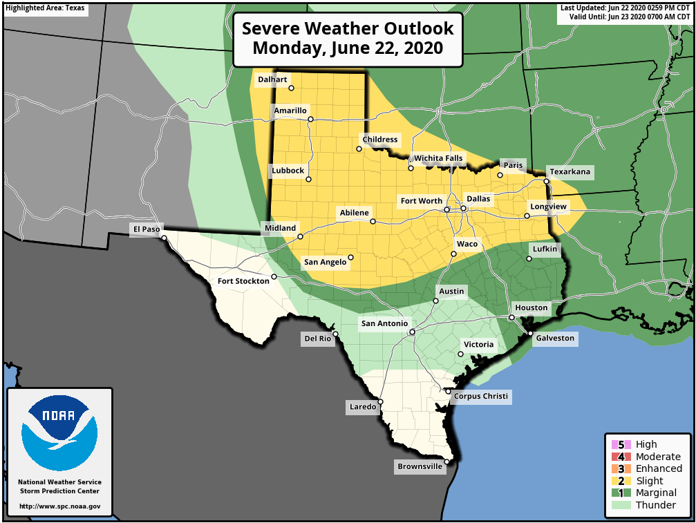 Please keep in mind that these outlooks are just a general guideline, and thunderstorms can care less about these lines and colors, so don't get too caught up with it. Everyone that is involved in a risk has a fair game of seeing some type of strong to severe thunderstorms this afternoon and evening.
TIMING - A cluster of thunderstorms is already impacting Southern Oklahoma along a stationary warm front (which will eventually turn into a cold front by the time it moves through North Texas). Some development is possible for the counties closest to the Red River, but the main severe weather window for North Texas will mostly come during the overnight hours into Friday morning. Earlier mesoscale model runs showed a couple of supercells reaching the metroplex right around dinner time (which would have a higher likelihood of turning severe), so don't be alarmed if there are a couple of storms by the evening, but remember, our main window for weather would be overnight. THREATS - There is just a bit of uncertainty regarding whether or not the severe storms will be surface-based or just ever so slightly elevated above the cap. Storms would yield more of a low-end tornado risk if they happen to become slightly elevated about the cap. All modes of severe weather would be more likely if storms become more surface-based. In either scenario, a hail threat exists. RAIN - There is a chance that the storms that come through overnight may get undercut by the cold front, mitigating any risk of severe weather. One way or another, there is a good chance that we will get wet while you are asleep. But rain amounts should stay under 1/2 inch for many communities. If you put this into perspective, overall severe weather risk for North Texas is not high, meaning, we are NOT expecting a widespread severe weather event/outbreak. This is just a routine threat of strong to severe thunderstorms that you will see more commonly as we head into Meteorological Spring. Keep in mind that any storms left over by midnight will more than likely get undercut by the cold front, cutting off the supply of unstable air. However, it is not wise to get complacent about these severe weather risks. We can use this as good practice for when we actually have a severe weather event. It is a good idea (when you get home) to clean out the storm closest or basement and have a reliable, robust way of receiving warnings (NEVER RELY ON STORM SIRENS AS YOUR PRIMARY METHOD OF GETTING WARNINGS!!!). Just make sure you are working with fresh forecasts. If you are viewing a forecast that is at least six hours old, you are working with bad information. Be sure to follow me and Jonathan William's twitter handle for the latest updates regarding today! We will go live whenever warnings are issued for the North-Central Texas region. Donovan Neal CEO of ApexStorm - Weather and Band Forecast Company NOAA Weather-Ready Nation Ambassador SKYWARN Spotter Certified |
AuthorWrite something about yourself. No need to be fancy, just an overview. Archives
March 2021
Categories |
 RSS Feed
