
|
A BIT WARMER THIS AFTERNOON - Clouds have been very persistent across North Texas over the past few days, and they will still hang over the region later today as the sky becomes partly sunny. We project a high in the lower 50s this afternoon. Tonight will be chilly once again with temperatures in the low 40s, and tomorrow will feature partly to mostly sunny conditions with highs in the mid 60s. THURSDAY AND FRIDAY - Thursday will feature a mix of sun and clouds again with afternoon highs in the in the mid 60s. A disturbance will bring widespread cloud cover into the state on Friday, and a few showers are possible Friday afternoon into the evening hours. The warming trend peaks on Friday as temperatures rise into the low to mid 70s. The day will be generally cloudy will only few instances of sun at times. SATURDAY - A dynamic weather system will bring rain to our region early Saturday morning into late-morning. Some lightning is possible, but no severe weather issues are expected due to the lack of instability. The main window for rain comes from about midnight to 10:00 AM, and rain amounts of less than 1/4 inch are likely. We will maintain highs in the mid 40s on Saturday. COLDEST AIR ARRIVES SUNDAY - Piercing cold air rolls into Texas Sunday with a strong northerly wind. Many communities in North Texas will stay below freezing all day, and the north wind of 10-25mph will push the wind chill indices to the teens and single digits all day. I would not be surprised if we see a couple of snow flurries after midnight into early Sunday morning at the artic air intrudes the states, but no accumulation or impacts are expected. The cold air is the main headline. By Monday morning, we project a low in the 20 degree range for North-Central Texas. The day Monday will feature a mix of sun and clouds with highs in the mid 40s. TO THE NORTH - Another snow event is possible this weekend for parts of the Midwest into Northeastern US. Too far out on specific timing, impacts, or amounts. But please exercise caution if you are traveling in those areas. NEXT WEEK - Most of next week will be mostly dry with highs in the upper 40s. Thermal profiles and current upper air pattern suggests that is no evidence of any significant snow/ice event for Texas for the next several days, despite what you might see on Twitter, or what your weather app says. See the Texas Weather Discussion Video for more details. 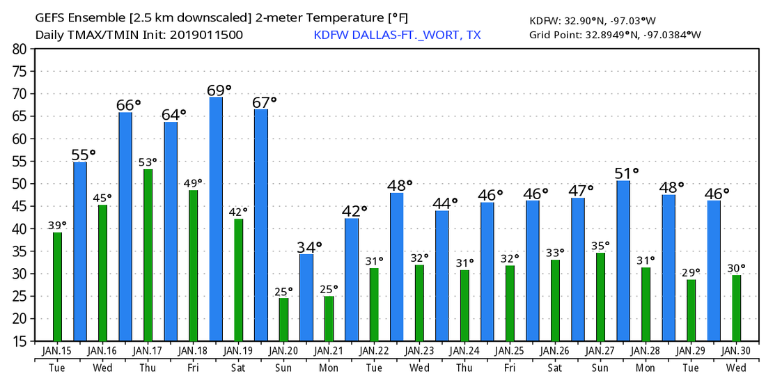 |
Archives
March 2023
Categories |
 RSS Feed
