
|
Its been a cloudy, cool, and damp day across North Texas. Most areas have seen 3-4" of rain in the past 48 hours! But, if you thought we were done with the rain, think again. 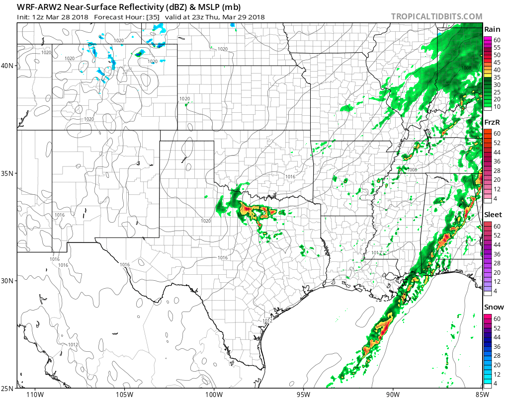 The guidance continues to show a risk of scattered thunderstorms tomorrow afternoon, but no severe weather is anticipated. But, with modest CAPE in the upper levels of the atmosphere, a few storms may turn strong with small hail and strong winds gusts up to 50mph. Heavy rain will be the primary risk, along with some lightning. These storms will exit, and we will turn dry and sunny for Friday/Saturday with highs in the lower to mid 70s. For Easter Sunday, isolated showers are possible during the early morning hours, with a break through most of the day, with a few showers and possibly a thunderstorm in the afternoon. Coverage will be less than 30%, so most areas will stay dry, but some won't. No severe weather is anticipated at this time.
Looking towards next week, we look to stay active with frequent storm chances, and several risks of severe storms. Let's break it all down. MONDAY: Scattered showers and storms will be around through the day, with coverage hanging around 30%. A few storms may turn strong to marginally severe with quarter size hail and strong winds as the primary risks. TUESDAY: This day looks to be more significant in the way of severe weather. A few isolated supercells are possible in the afternoon with all modes of severe storms possible, but a boundary and a dryline will bring a risk of numerous (50%) storms during the evening. CAPE values will approach 3500, so severe weather is likely with all modes of severe storms possible. WEDNESDAY: As the boundary moves away, a few storms could still be possible, but not as widespread. Only 20% coverage is expected, but a chance of rain is still there. A strong to severe storm is still possible. LATE NEXT WEEK: Some more showers and thunderstorms are expected, some widespread is likely. It does appear severe weather will be possible, but it's too early to get any more specific. Have a great evening! -Jonathan Williams |
Archives
March 2023
Categories |
 RSS Feed
