
|
RADAR CHECK: We have some dying showers ongoing near Breckenridge and Graham, areas just to the west of the metroplex. These rain showers should continue to fizzle out as we head into the afternoon. Temperatures are 7-14 degrees below average across North Texas this morning with readings mostly in the mid 70s. Lower than normal dewpoints are making it feel like a fall day. We will hang on to the chance of isolated showers over our western counties this afternoon. Tonight should be mostly fair with a low in the low 60s. 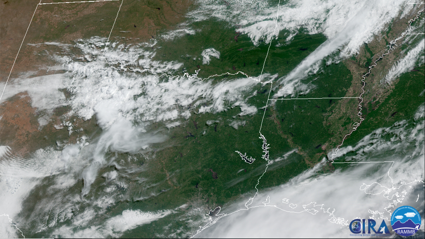 REST OF THE WEEK: We get one more day of fall-like weather tomorrow with a mix of sun and clouds with highs in the mid 80s before returning to seasonal averages on Friday with highs in the low 90s with our usual daily chance of "isolated, mostly morning to afternoon showers." THE WEEKEND: Saturday will be mostly dry. Temperatures will rise into the low to mid 90s with a noticeable increase in humidity. Then on Sunday, we will mention a chance of scattered showers and thunderstorms in the morning as moisture levels rise to averages again. Sunday's high will be in the 87-93 degree range. NEXT WEEK: We will continue to maintain daily chances of "isolated, mostly morning to afternoon showers" for at least the beginning part of the week with a mix of sun and clouds each day. Highs will be in the upper 80s to low 90s. See the Texas Weather Discussion Video for more details.  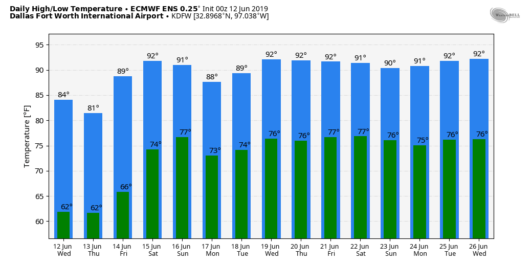 |
Archives
March 2023
Categories |
 RSS Feed
