
|
LAST CHANCE OF RAIN FOR A WHILE: As an upper trough lifts away from the region, so will the daily chances of scattered showers and storms. Some isolated showers will remain possible to the east of 35, but those will, of course, dissipate by sunset. Highs will continue to be in the mid 90s through the afternoon. The average high for DFW is 95°. 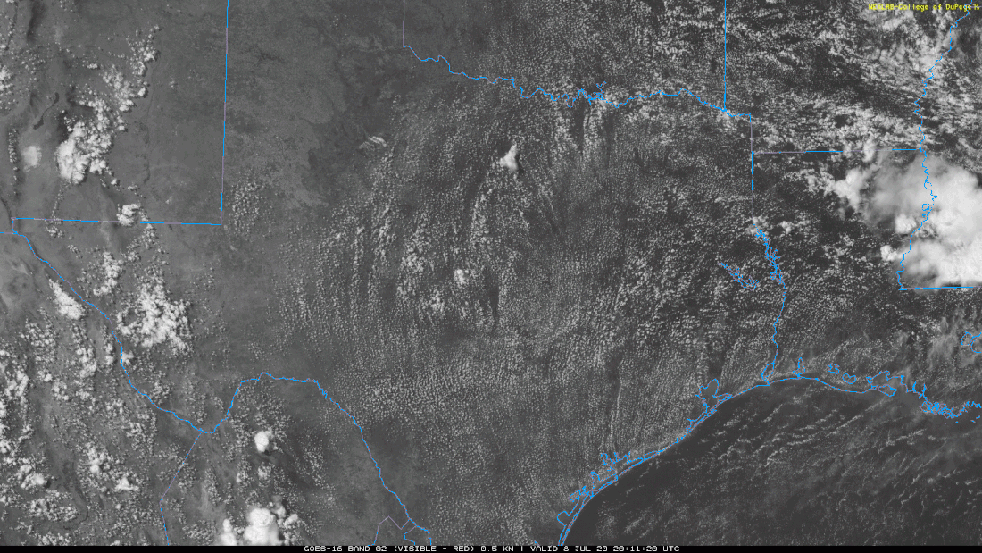 TOMORROW THROUGH THE WEEKEND: Tomorrow will be the beginning of many REALLY HOT days that are in store for North Texas. The afternoon highs tomorrow and Friday will reach the upper 90s, with a few 100° readings in some of our western zones. Heat indices will have no problem reaching the 105-110° range, so, a Heat Advisory has been issued for all of North Texas until Saturday at the EARLIEST. I expect most places to observe their first 100° day of the year on Saturday. The average first 100° day for DFW each year is the first of July, so I think it's a good thing that we are a little behind schedule. Regardless, it is going to be very hot for the weekend. NEXT WEEK: The forecast for next week will feature high temperatures well in the century mark and oppressive heat indices. The rain chances will be minuscule to none for the foreseeable future, providing no relief to the classic summertime heat. The upper level ridge will continue to hold through next week, and, combined with sinking subsidence, we will experience the hottest temperatures of the year over the course of next week. Highs each day will be in the 100-105° range with overnight lows in the low 80s. Heat indices will soar into the 105-110°+ range, so the Heat Advisory will likely continue through most, if not all, of next week, with an Excessive Heat Watch or Warning possible. I can not stress enough how important it is to practice heat safety by staying hydrated, mitigating outdoor activities, and protecting family and pets. We are in a global pandemic, so, you shouldn't be outside anyways. Now, more than ever, is a good time to stay indoors. TROPICS: A broad area of low pressure located near the coast of northeastern South Carolina continues to produce a large area of disorganized showers and thunderstorms over the adjacent Atlantic waters and portions of eastern North Carolina. The low is expected to move northeastward near or just offshore of the North Carolina Outer Banks on Thursday, and then turn north-northeastward and move along the mid-Atlantic coast Friday. Environmental conditions are expected to be conducive for development, and a tropical or subtropical cyclone is likely to form within the next day or so. Regardless of development, the system is expected to produce locally heavy rainfall that could cause some flash flooding across portions of eastern North Carolina, the coastal mid-Atlantic, and southern New England during the next few days. Gusty winds are also possible along the North Carolina Outer Banks through Thursday and along the mid-Atlantic and southern New England coasts Friday and Saturday. 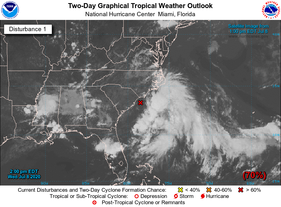 The rest of the Atlantic Basin, including the Gulf of Mexico, is quiet.
ON THIS DAY IN 2003: What may be the world’s highest dew point temperature was recorded at Dhahran, Saudi Arabia, in the Persian Gulf. A dew point of 95 degrees was recorded at 3 PM while the air temperature was 108 degrees. The apparent temperature at that time would have been 172 degrees. Look for the next blog update tomorrow at noon.... Have a great night! Donovan Neal Owner - ApexStorm |
Archives
March 2023
Categories |
 RSS Feed
