
|
Temperatures this morning are in the upper 60s-low 70s range across the region this Tuesday morning deep in the heart of Texas. Our weather today will be no different than recent days; hot days followed by fair nights with afternoon highs in the upper 90s with some places reaching 100 degrees. WEDNESDAY THROUGH THE WEEKEND - Wednesday, May 30 will likely be the first 100 degree day of the year for DFW, two days before the start of Meteorological Summer. The earliest 100 degree day was May 30, 1928 and the average 100 degree day in DFW is July 1, so we are about one month early. The rest of the work week will be dry with highs in the low triple digits. We will likely see record temperatures this Saturday with DFW high being 104-105. The current record for June 2 is 100 degrees, set in 1998. We do cool down a little bit on Sunday, but highs will still be in the upper 90s with some places reaching 100 degrees. NEXT WEEK - Look for highs mostly at or just above 100 degrees for most of the workweek. Be sure that you are practicing heat safety whereever you go. 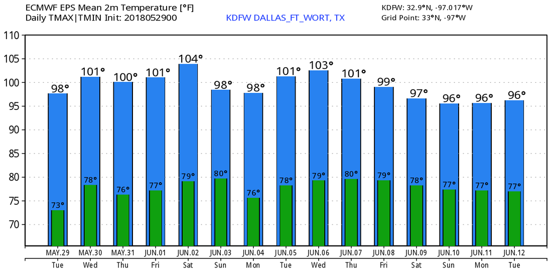 ALBERTO - This storm is a subtropical depression that is located in Central Alabama this morning. It will continue to progress to the northwest, producing heavy rain and the potential for a couple of isolated tornadoes at times. An additional 4-6 inches of rainfall can be seen in central Alabama during the day, but those amounts will lessen as Alberto weakens and moves to the north. See the Texas Weather Discussion Video for more details. 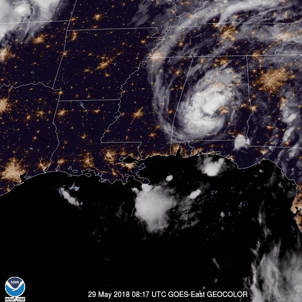 |
Archives
March 2023
Categories |
 RSS Feed
